Maps of the Ukraine
Click on any small image to see
a full-sized view.
The larger view (which may be very large) will open in a new window or new tab.
You can then right-click on that larger image to save it to your hard drive.
 |
 |
 |
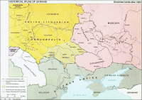
| Ukrainian Lands after 1667 |
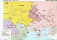
Ukrainian Land Circa 1750 |
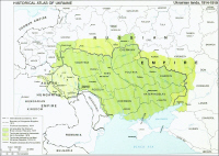
Ukrainian Land 1850 |
 |
 |
 |
| Ukrainian 1914 - 1919 |
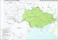
Ukraine between WWI and WII |
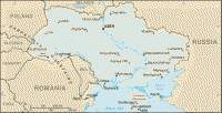
Ukraine 2003 |
For links to other maps please go to the Maps & Gazetteers section on our links page.
If you have other maps (older than the 72-year copyright, of course) or map links you'd like to share, please contact us.